
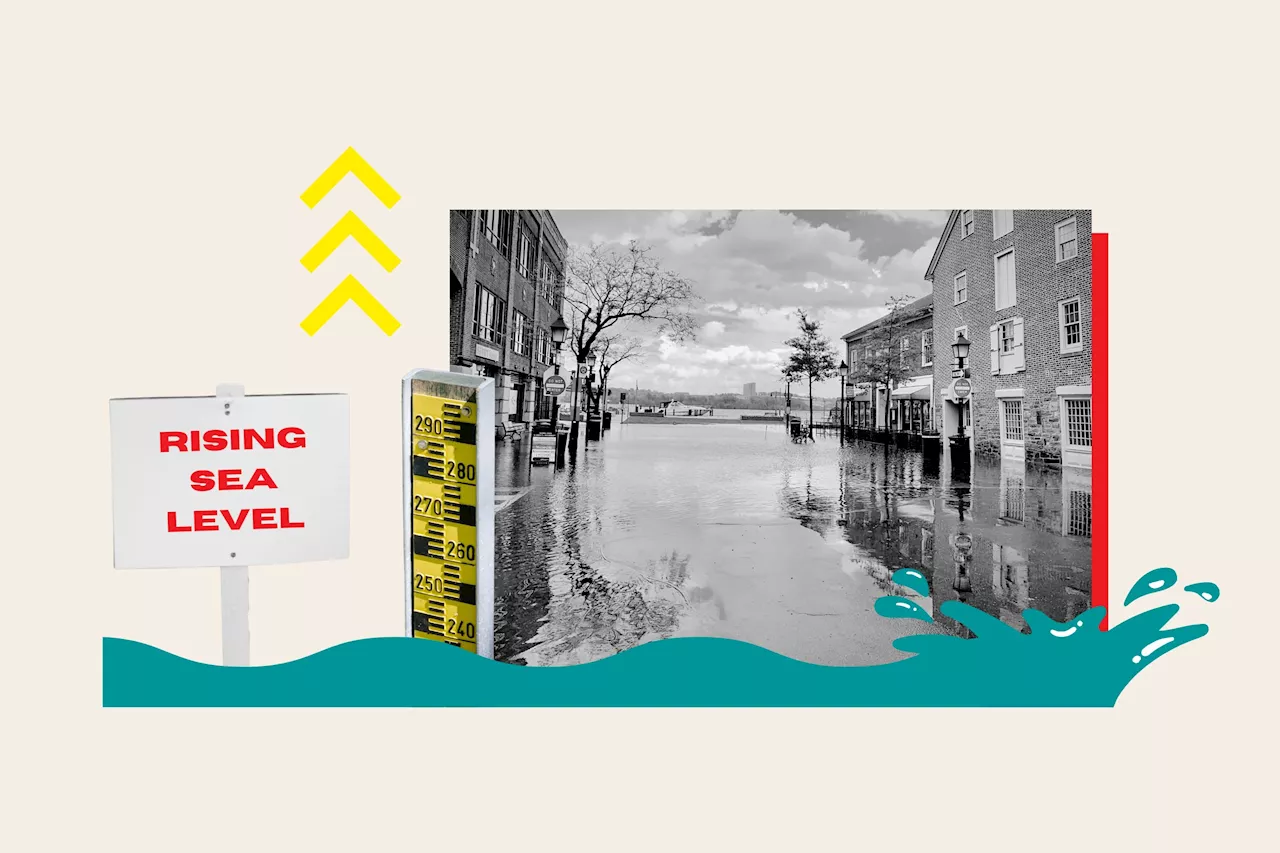
'Sea level rises will create a profound shift in coastal flooding over the next 30 years,' says NOAA.
A map by the National Oceanic and Atmospheric Administration reveals the areas of the U.S. that are most at risk from flooding and tsunamis as the sea level continues to rise.As climate change increases air and ocean temperatures worldwide, the oceans are creeping ever higher, because of the melting of polar ice caps and glaciers.The sea level along the U.S.
Between Houston and New Orleans, the map shows that the coast is largely at risk of high tide flooding, sea level rise of up to 3 feet, and storm surges from hurricanes.FloridaThe West, South, and Northeastern coasts of Florida are also shown to have large areas of red, with yellow areas stretching inland. The southernmost tip of Florida and the Keys are especially drenched in red, with numerous flood hazards present, including a sea level rise of up to 3 feet and hurricane storm surges.
France Dernières Nouvelles, France Actualités
Similar News:Vous pouvez également lire des articles d'actualité similaires à celui-ci que nous avons collectés auprès d'autres sources d'information.
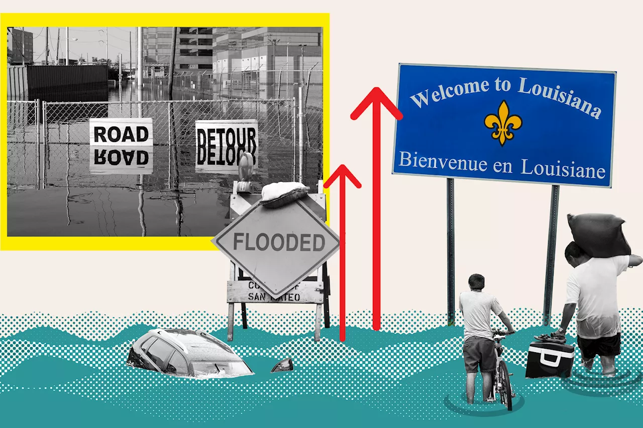 Louisiana Map Shows Where State Could Be Underwater From Sea Level RiseThe National Oceanic and Atmospheric Administration has created an interactive tool showing how the state's coastline could change if the sea rises by 6 feet.
Lire la suite »
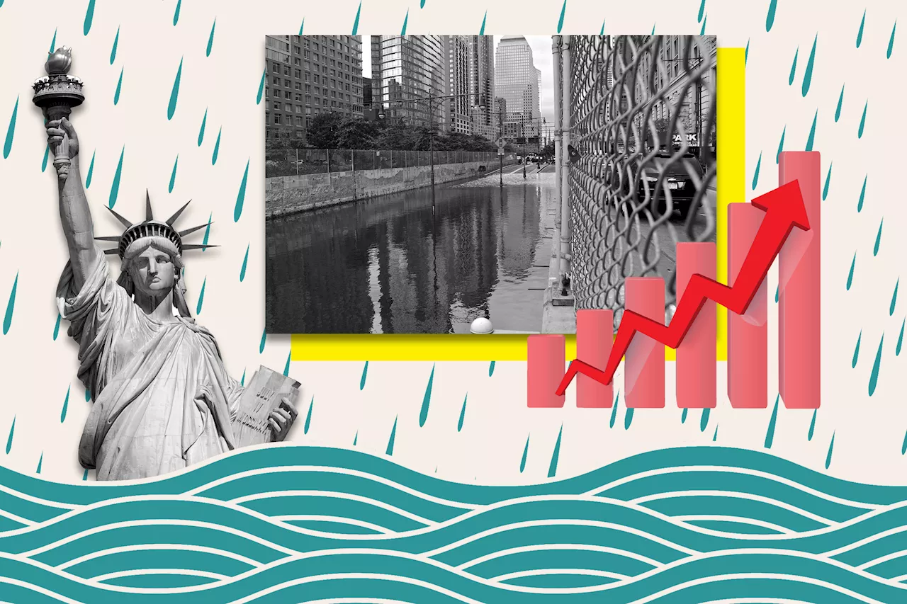 New York Map Shows Where State Will Become Underwater From Sea Level RiseNew York City and swaths of Long Island are vulnerable to being consumed by the rising ocean as sea ice melts in the coming century.
Lire la suite »
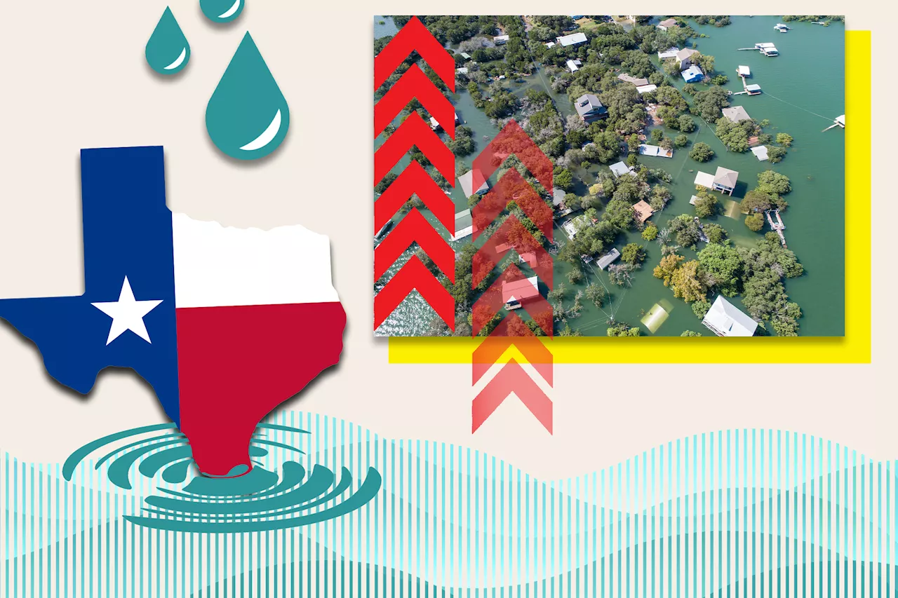 Texas Map Shows Where State Will Become Underwater From Sea Level RiseSea level rises could cause coastal areas along Texas's stretch of the Gulf of Mexico to be consumed by water, modeling suggests.
Lire la suite »
 California Map Shows Where State Will Become Underwater From Sea Level RiseSea level rises could cause areas along California's seaboard to be flooded or entirely consumed by water, modeling suggests.
Lire la suite »
 Florida Map Shows Where State Will Become Underwater From Sea Level RiseBy the year 2100, a large part of Miami could be consumed by the sea due to sea level rise, scientific modelling suggests.
Lire la suite »
 US Map Shows How States May Be Submerged by Rising Sea Levels in 2100Florida, Louisiana and North Carolina are expected to fare the worst if sea levels rise by 6 feet by the end of the century.
Lire la suite »