The National Weather Service has a declared a rare Level 4 of 5 risk for the area, the first since 2013.
in parts of the area, although the storms will be moving quite quickly limiting a more serious risk. Zones of poor drainage, especially in urban areas, are most susceptible.Be aware that it is impossible to know in advance where the most severe weather will strike and whether any particular location will experience damage. In severe weather setups, sometimes some areas see little or no severe weather while neighborhoods nearby are substantially impacted.Secure or move inside loose outdoor items.
We are monitoring the approach of a vigorous upper-level disturbance moving out of Ohio, which contains a belt of very strong mid-level winds targeting the area. Early-morning clouds should break up and permit solar heating and destabilization of the atmosphere. Meanwhile, intensifying low pressure will track to our north, drawing in a moist air mass on a south wind.
The 2 p.m. Weather Service forecast surface map is shown above. The D.C. area will be positioned in the warm sector — between a warm and cold front — of the low-pressure tracking to the north. The maroon stripe indicates the likely location of a line of severe thunderstorms that will start to evolve by midafternoon in high country to the west.Winds about 25,000 feet up, of 60-70 mph, are exceptional for August.
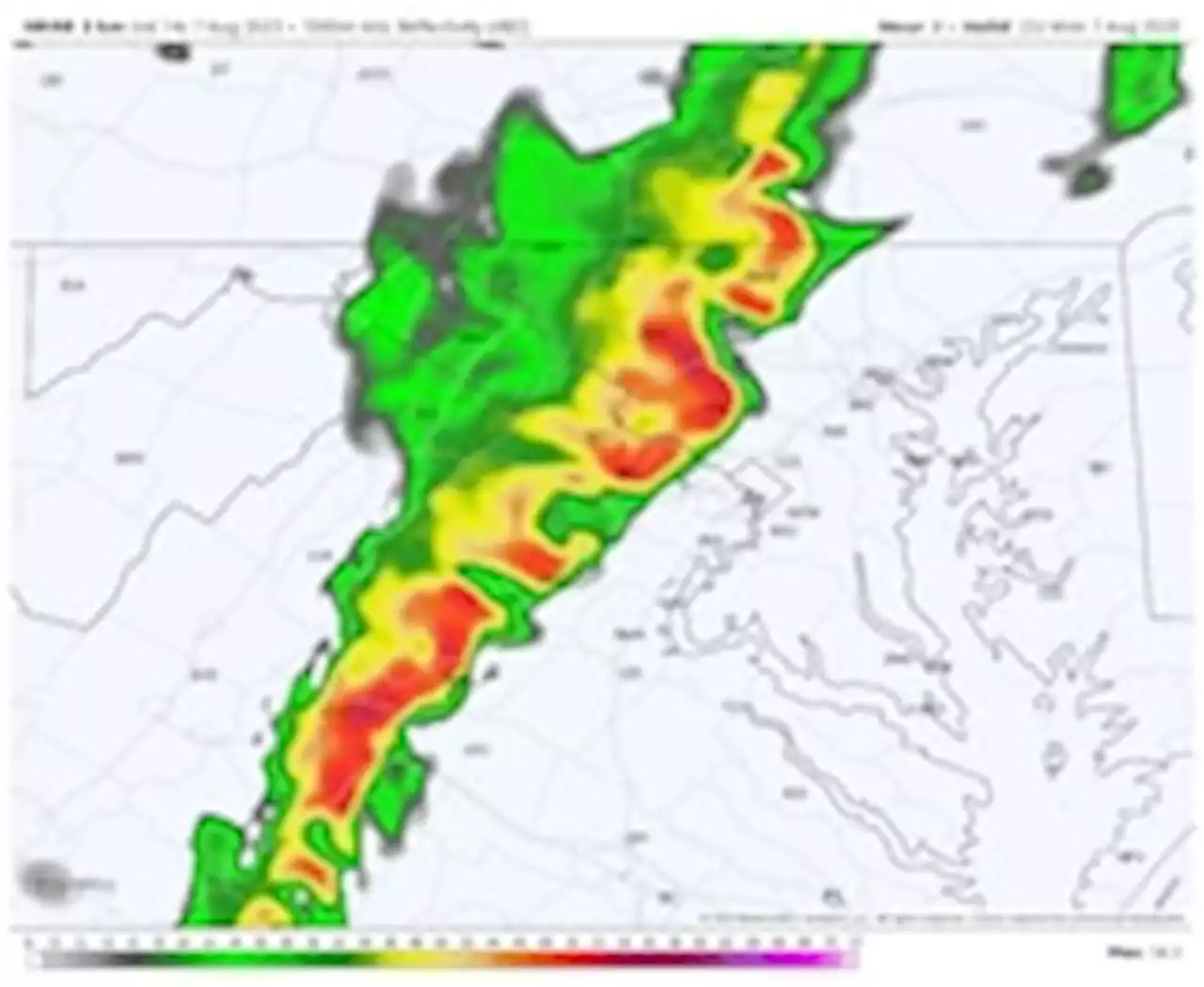
The vigorous lift and deep shear will conspire to generate a squall line of thunderstorms that moves off the Blue Ridge and likely intensify approaching Interstate 95. That squall line may not be entirely solid but may consist of bowing segments and isolated zones of rotation.This setup may create longer tracts of straight-line wind damage with wind gusts around and past 75 mph in spots. Realized, such a wind intensity would create pockets of exceptional tree and utility damage.
It is not possible at this time to ascertain whether the predicted line of damaging wind will qualify as a derecho, but the behavior in some locations may be derecho-like in terms of rapid onset, ferocity of winds and extended gusts. Everyone should be prepared for the possibility of wind damage to cars and homes from falling trees and the prospect of widespread, perhaps extended, power outages.
France Dernières Nouvelles, France Actualités
Similar News:Vous pouvez également lire des articles d'actualité similaires à celui-ci que nous avons collectés auprès d'autres sources d'information.
 Man rescued from Lake Michigan near Oak Street Beach amid dangerous swimming conditions: CPDThe National Weather Service said swimming conditions could be life-threatening.
Lire la suite »
 Severe Weather Outbreak To Produce Damaging Winds In East | Weather.comA strong storm system for August is bringing a threat of dangerous severe storms to the East and South. - Articles from The Weather Channel | weather.com
Lire la suite »
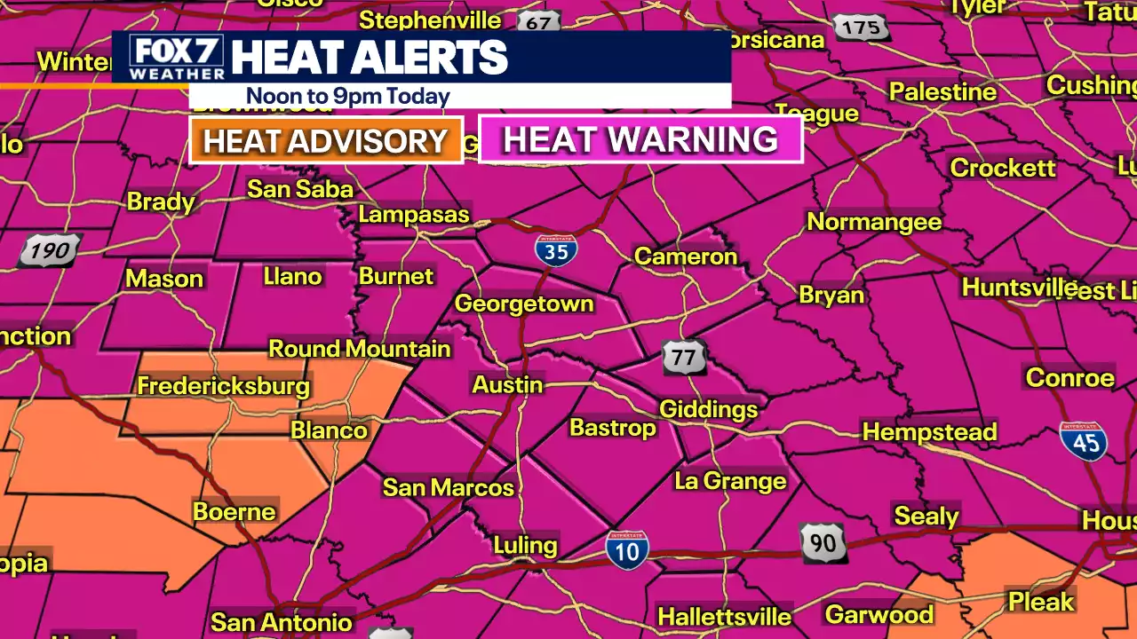 Austin weather: Hot and breezy weather Monday will increase wildfire riskAustin isn't just breaking the record for the longest triple-digit streak, we're shattering it. Zack Shields has the latest on this excessive heat.
Lire la suite »
 Politicians Should Know When to RetireWhy are Americans so willing to consider age limits for service in positions of national leadership?
Lire la suite »