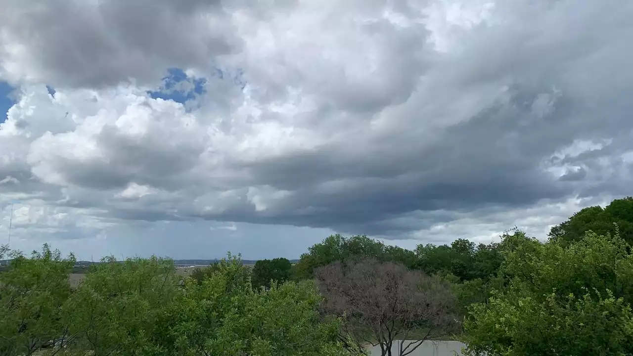
A level 2 risk of severe weather is highlighted for North, Central and South Texas.
For the first time since the early spring, parts of the Lone Star State could face damaging winds, hail and even isolated tornadoes Monday afternoon and evening.
A cold front, an upper-level disturbance and moisture from what was formerly Hurricane Roslyn will create a prime environment for showers and thunderstorms.
Nous avons résumé cette actualité afin que vous puissiez la lire rapidement. Si l'actualité vous intéresse, vous pouvez lire le texte intégral ici. Lire la suite: